
07478 835 515
07478 835 515
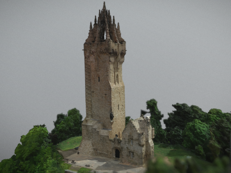
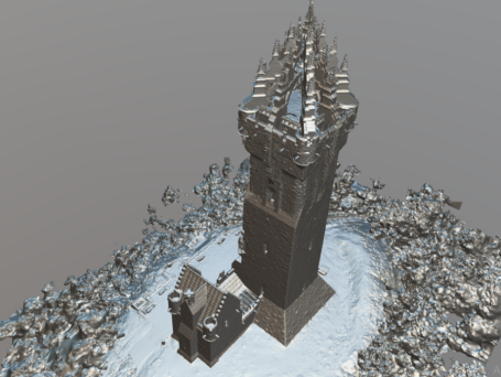
Photogrammetry is a technique whereby accurate measurements are obtained to create 3D models from a series of overlapping photographs.
By taking multiple images of an object, structure, or landscape from different angles, we can process the data to reconstruct a detailed 3D model, mesh, or point cloud.
This technique is used in fields like archaeology, surveying, engineering to create detailed digital representations of landcsapes, sites and buildings.
Photogrammetry is a incredibly useful tool, and combined with high quality drone imagery can be a efficient and cost effective way of creating visual or mesh models for multiple utilities.
Photogrammetry can be captured through the mediums of photographic, thermographic and multispectral reproductions depending on the need of your project
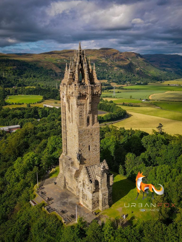
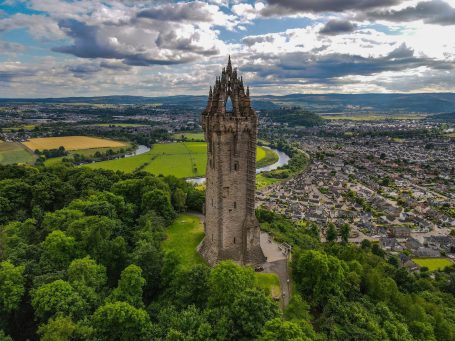
Wallace Monument - Stirling
We need your consent to load the translations
We use a third-party service to translate the website content that may collect data about your activity. Please review the details in the privacy policy and accept the service to view the translations.