07478 835 515
07478 835 515
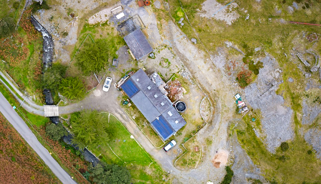
Orthomosaics
An orthomosaic is a high-resolution, geometrically accurate map created by stitching together multiple overlapping images (orthophotos) into a single, seamless, distortion-free image. Unlike regular aerial photos, orthomosaics correct for perspective, lens distortion, and terrain relief, providing a precise, to-scale, top-down view of an area. This makes them valuable tools for various industries, including construction, agriculture, and environmental monitoring, for tasks like site planning, progress tracking, accurate measurements, and land analysis
Key characteristics:
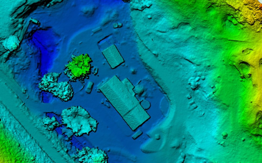
Colour Topographics
Using accurate data from drone imagery, and ground control points, we can build detailed height mapping to create a topographical map of your project and landscape. Topographical mapping can be useful in landscape managment to identify features that may not stand out in orthomosaic mapping. This can be particularly useful in identifying subtle data points such as tidal zones, drainage, water catchment, and archeology.
We need your consent to load the translations
We use a third-party service to translate the website content that may collect data about your activity. Please review the details in the privacy policy and accept the service to view the translations.