07478 835 515
07478 835 515
LiDAR
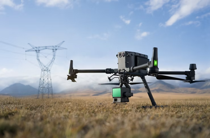
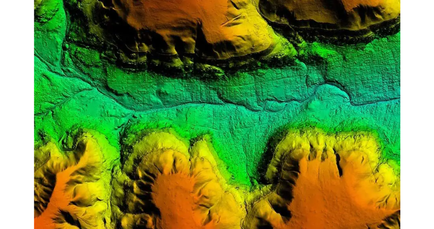
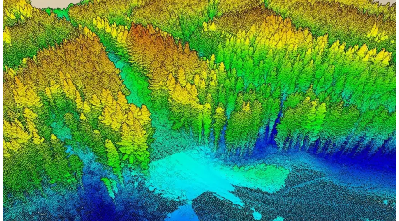
LiDAR (Light Detection & Ranging) is a remote sensing technology that uses pulsed laser light to measure distances and create high-resolution 3D models of the Earth's surface and other environments
LiDAR drone mapping is used to create detailed, precise 3D maps and models across diverse fields, lowering mobilization costs and much higher spatial resolution are allowing new LiDAR mapping use cases in several disciplines, such as forestry, bathymetry, archaeology, infrastructure mapping, hazard management
The technology excels at mapping complex terrain, penetrating vegetation, and detecting small objects, making it and efficient and safe tool for inaccessible areas.
Compared to UAV photogrammetry using passive RGB camera sensors, survey-grade UAV-LiDAR features multi-target capability (i.e. multiple echoes per laser shot) resulting in penetration of semi-transparent objects like vegetation. It also delivers precise geometry as well as radiometry (signal strength).
We need your consent to load the translations
We use a third-party service to translate the website content that may collect data about your activity. Please review the details in the privacy policy and accept the service to view the translations.