07478 835 515
07478 835 515
Our drone surveys and inspections are used across industries like construction, agriculture & aquaculture, mining, and environmental management to create detailed maps, 3D models, and inspect inaccessible areas like roofs or hazardous terrain. They provide high precision data for progress monitoring, asset inspection, and land assessment, offering benefits such as increased efficiency, improved safety, and cost-effectiveness compared to traditional methods.
From the smallest inaccessible roof to a river valley, from a residential to industry and commerce, drones can be used to detect and monitor damage and change, and is a efficient way to prioritise and plan.
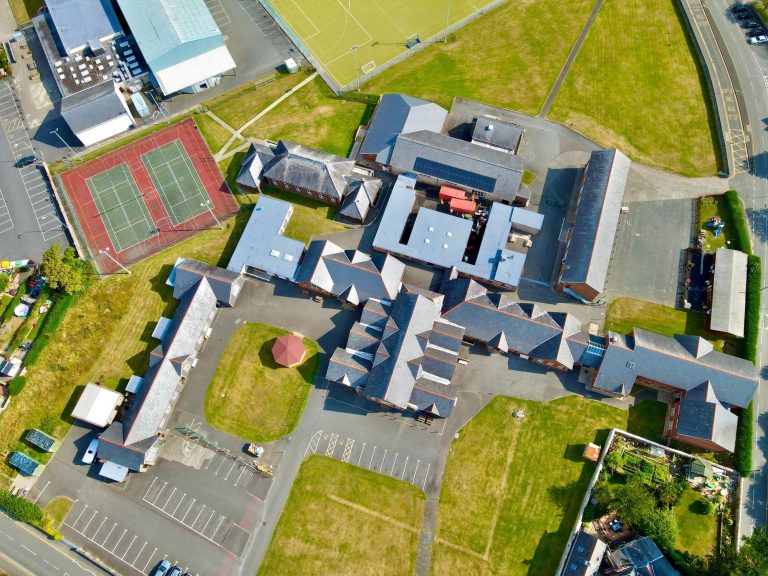
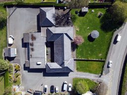
Drone roofing surveys use aerial drones with high-resolution cameras and sensors to capture detailed data and images of a roof's condition, providing benefits such as improved safety, cost-effectiveness, and accuracy compared to traditional methods.
Key uses are to detect damage like missing tiles or leaks, conduct routine maintenance, assess properties before purchase, assist with insurance claims, monitor roof condition for renovations, and inspect hard-to-reach areas like chimneys and complex roof structures.
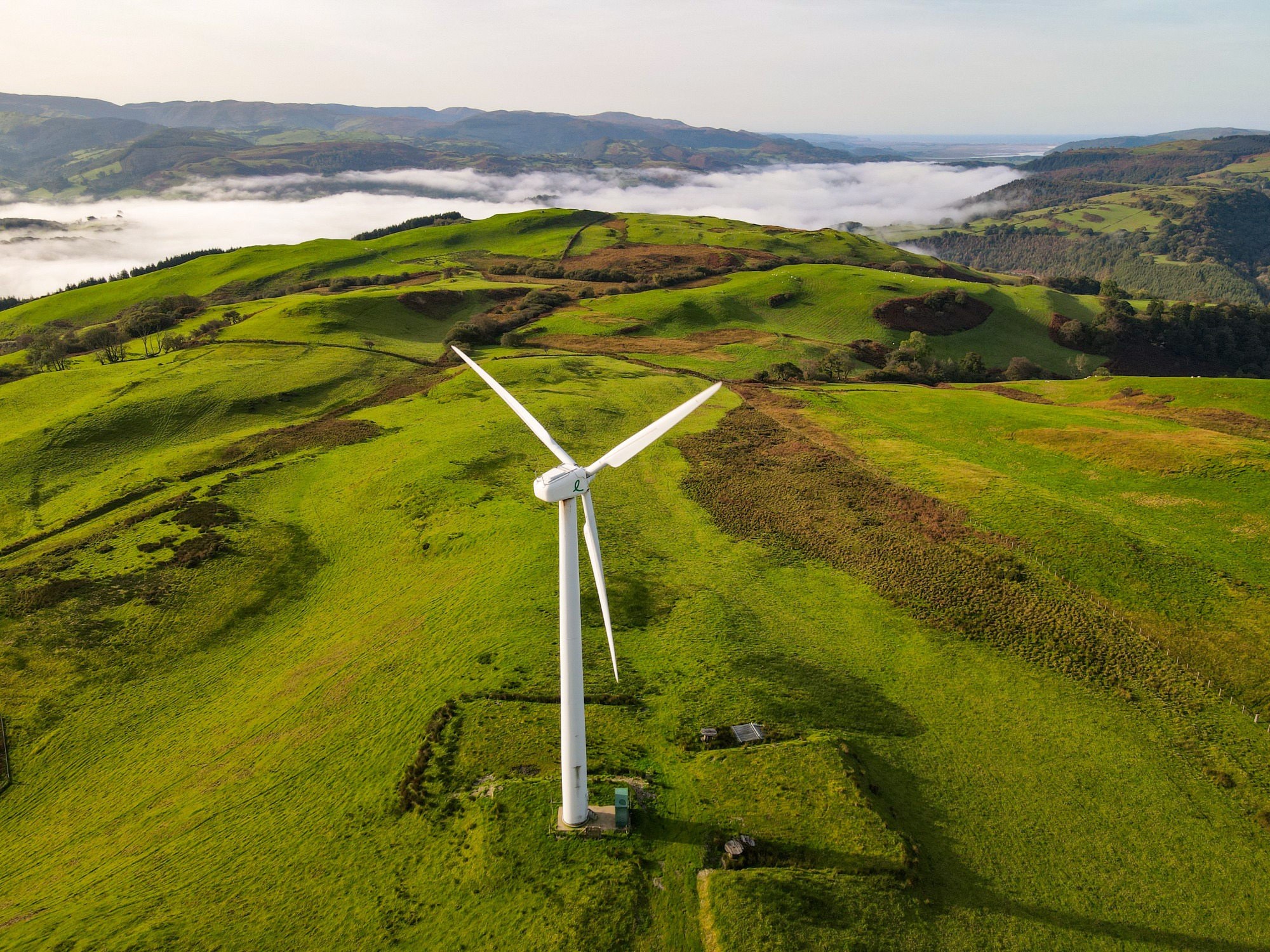
Cwm Llyfnant & Cwm Maethlon - Gwynedd
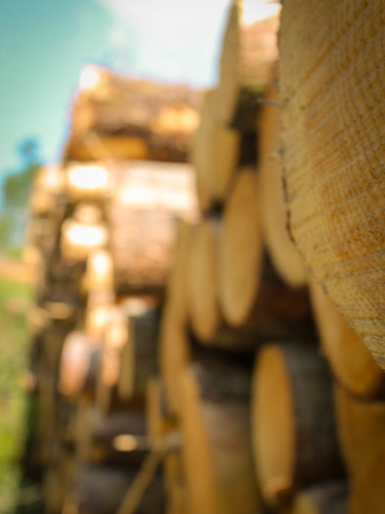
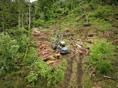
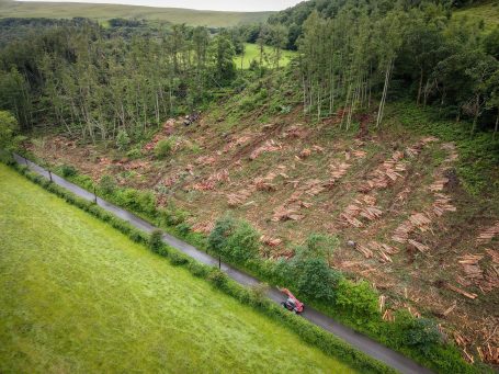
Drone Forestry surveys use aerial imaging and sensor data to rapidly assess forest conditions, improving efficiency and safety for tasks like tree health monitoring, inventory management, biodiversity assessment, and resource planning.
Whether complex sites, Continous Cover Foretsry (CCF), windblow, disease monitoring, insurance evidencing or as a damage assessment, we can cover all aspects of your data capture needs.
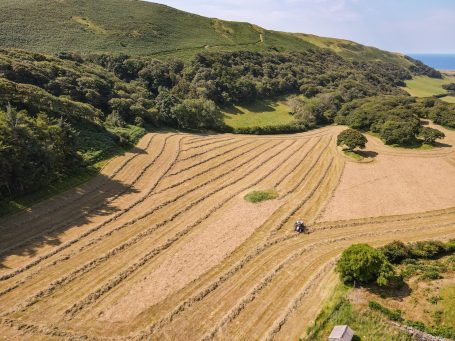
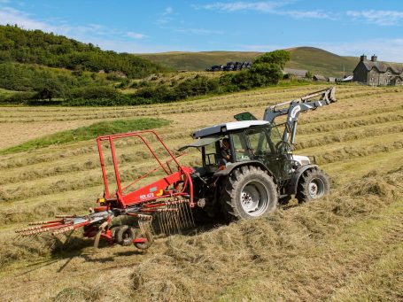
UAVs can map farming sites, monitor environmental conditions, and assess stock health, offering a cost-effective, real-time solution for detecting issues like pollution and disease.
Capturing detailed imagery and sensor data to create orthomosaic models for managing farmland, inter-tidal zones, identifying areas of expansion, visualising soil health and nutrient distribution, and conducting bio-security assessments.
With precision multispectral, thermal and LiDAR capabilities to capture all of your sustainable farming needs.

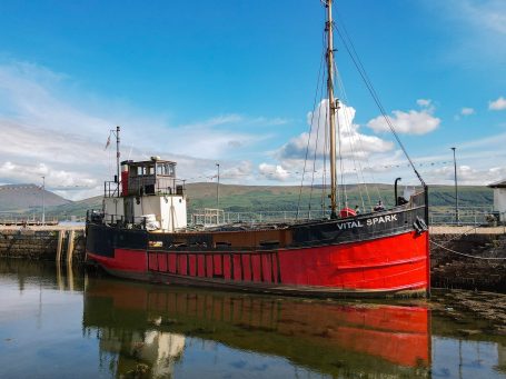
Shuna - Loch Linnhe - Argyll & Bute
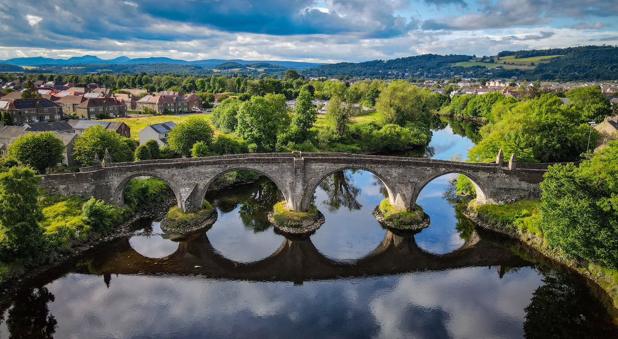
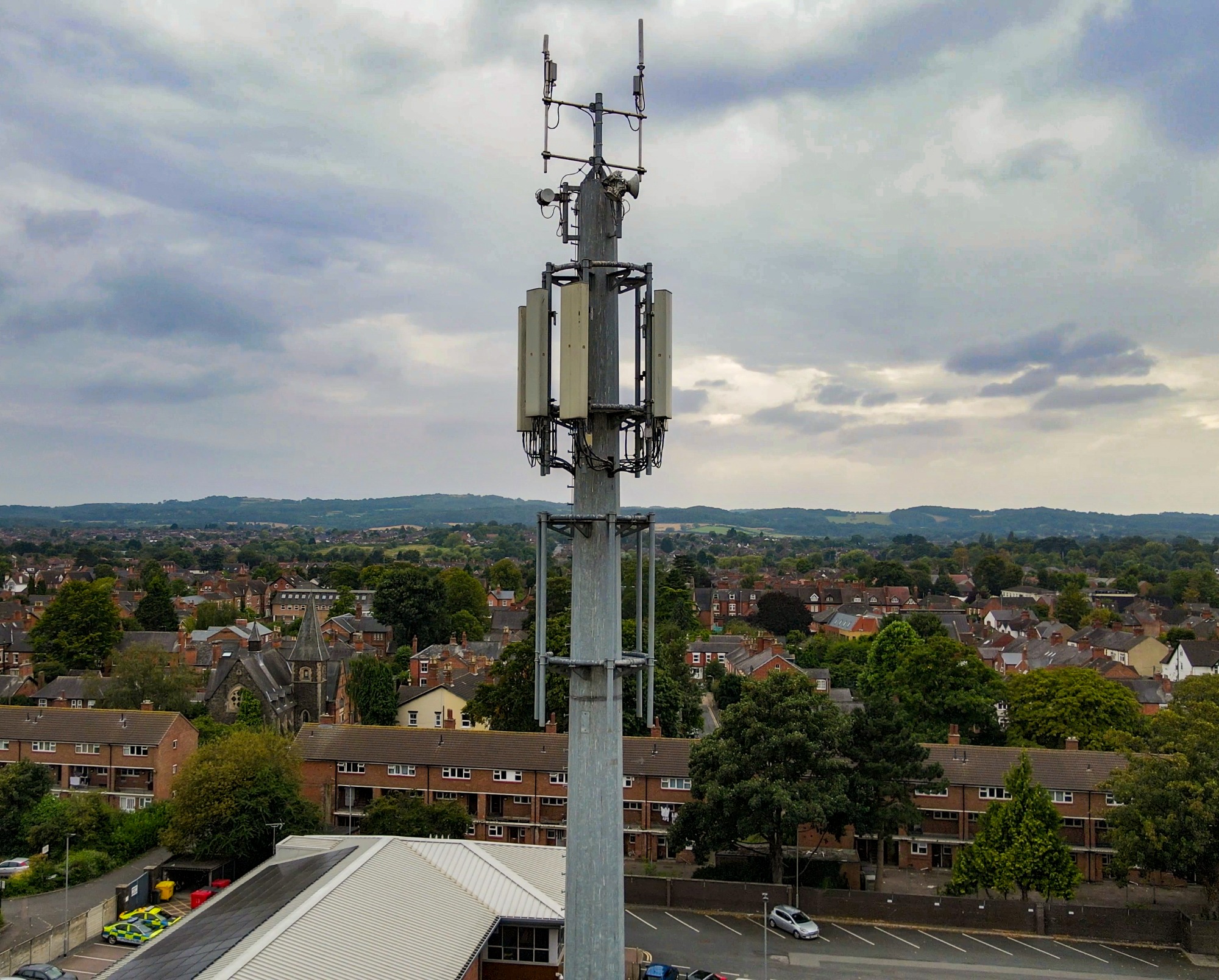
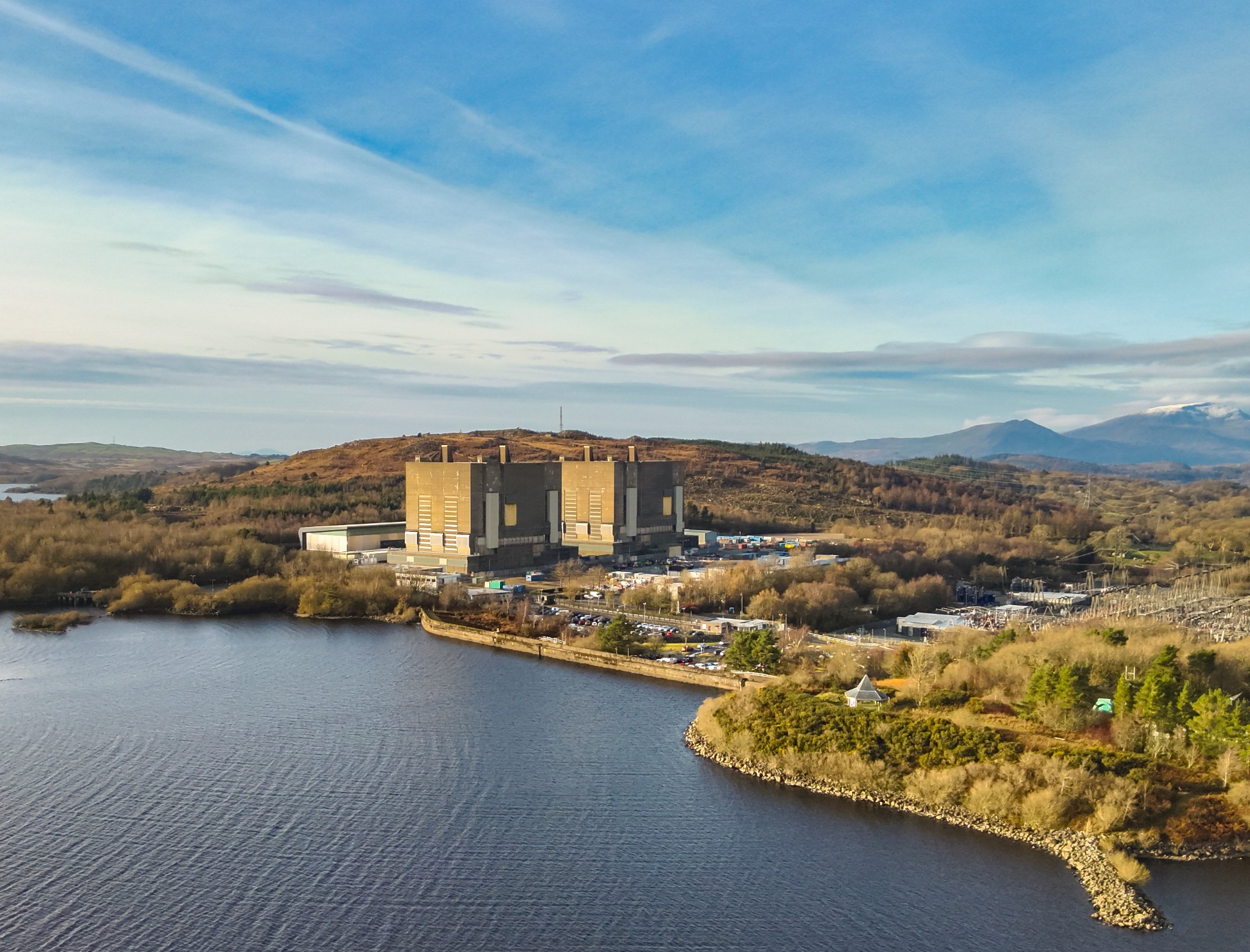
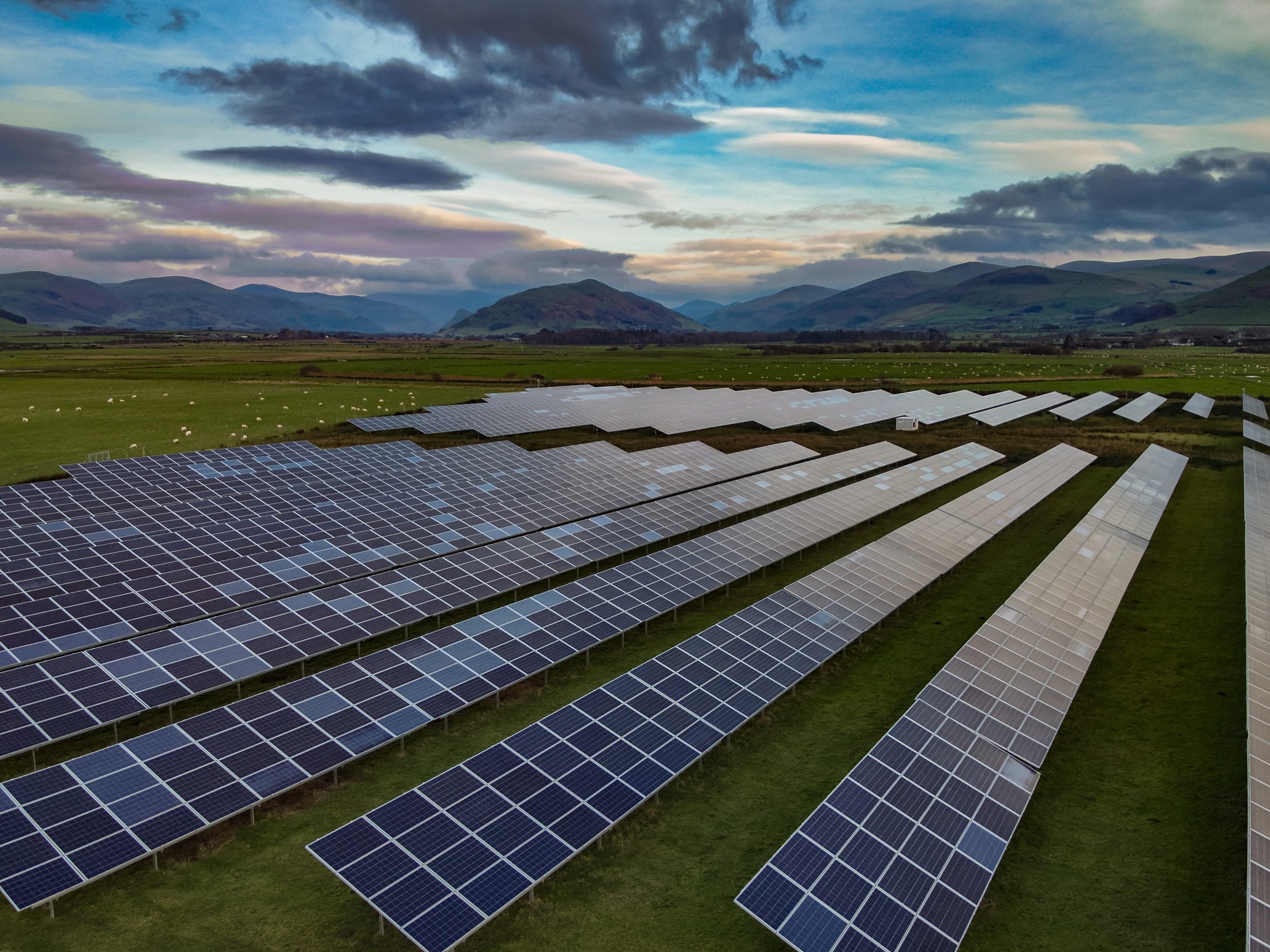
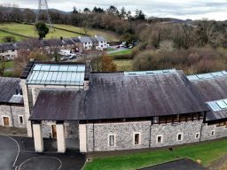
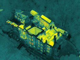
Drones inspect hazardous or hard-to-reach infrastructure like bridges, utility towers, and solar farms, providing detailed images and thermal data to identify defects and ensure structural integrity.
Reduced risk, increased precision and efficiency, we can meet all your data capture needs.
We need your consent to load the translations
We use a third-party service to translate the website content that may collect data about your activity. Please review the details in the privacy policy and accept the service to view the translations.