07478 835 515
07478 835 515
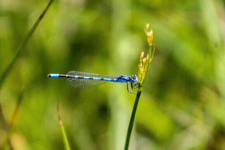
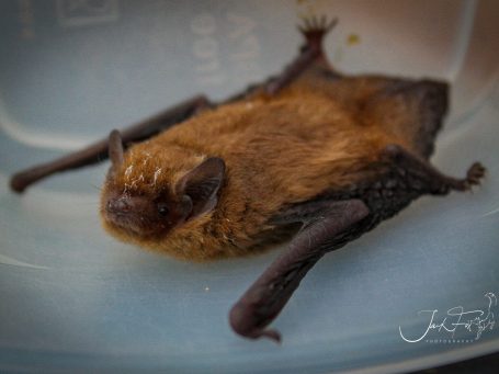
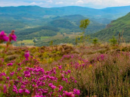
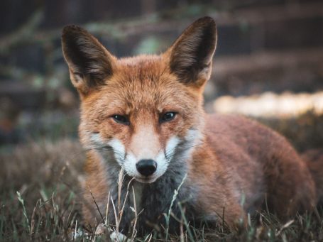
Ecological drone surveys utilize UAVs equipped with advanced sensors and high-resolution cameras to gather data on wildlife, habitats, and environmental conditions in an efficient, non-intrusive way. These surveys map landscapes, monitor vegetation changes, monitor and identify invasive species, assess habitat suitability and track animal movements without disturbing ecosystems. Drones provide cost-effective, high-level perspectives, 3D Models, and detailed imagery that informs conservation strategies, biodiversity net gain plans, and the management of construction sites.
Key Applications
Coupled with traditional ground methods of data capture, UAVs are ideal for repeat tasks, covering large inaccessible (sometimes high risk), in a non invasive or disruptive method.
With an array of improving technologies, they are the perfect platform to inspect, survey and monitor habitats and biodiversity. Working in partnership with land managers, conservation and preservation schemes and government to provide accurate and timely data.
We need your consent to load the translations
We use a third-party service to translate the website content that may collect data about your activity. Please review the details in the privacy policy and accept the service to view the translations.