07478 835 515
07478 835 515

GVC Certified

EC785/2004 Insurance
DBS Cleared
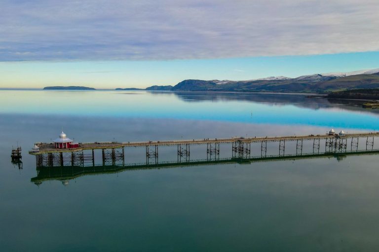
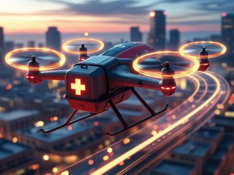
We offer a wide range of commercial drone services using the latest in unmanned aircraft systems (UAS), to provide precise, efficient and cost-effective solutions across a variety of industries.
Drone photography services, delivering bespoke solutions tailored to your unique needs. Drone photography, leveraging crisp, high-resolution images. Coupled with expert aerial filming.
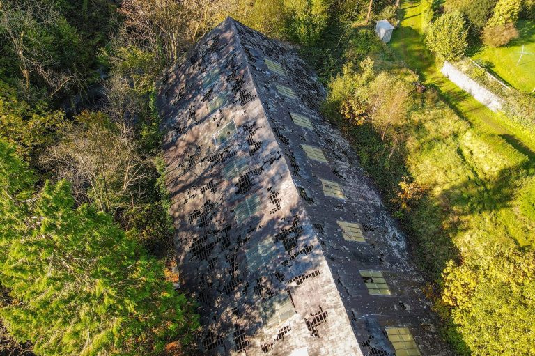
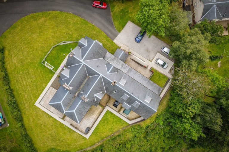
Our building surveys team provide meticulous property condition evaluation, aiding clients in cost estimation, damage assessment, and renovation planning. Our expertise is for an in-depth understanding of your structure’s health and integrity.
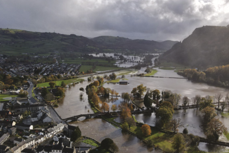
Using the latest drone technology to capture high-resolution topographical survey data, to create an accurate snapshot of your site
Whether data capture for your own projects, or specific mapping products we've got you covered. Cost effective, high accuracy solutions for all of your data acquisition and mapping needs.
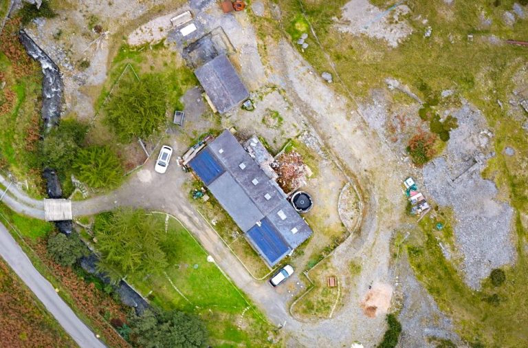
Geometrically corrected, high-resolution aerial images for applications like surveying, construction monitoring, real estate, agriculture, security, and environmental monitoring, offering accurate measurements, cost-effectiveness, and a versatile, up-to-date view of large areas compared to satellite or traditional survey
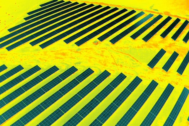
Drone surveys give you a complete overview of your buildings, assets and land – quickly identifying any potential heat loss and providing you with a detailed report using both visual and thermal sensors.
Multispectral cameras can be used to monitor crop health nutrient deficiencies, and water stress; environmental monitoring, identifying invasive species, tracking pollution, and assessing habitat health; in site investigation in areas like archaeology, construction, mining, and forestry.
Drone photogrammetry uses a drone to capture a large number of two-dimensional images over a geographic area and compiles them into accurate three-dimensional models and orthomosaic maps with specialised photogrammetry software
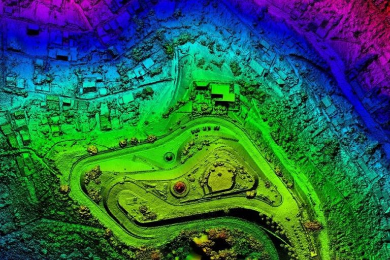
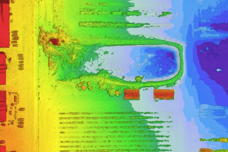
Also known as Light Detection and Ranging, this non-invasive method delivers precise accuracy and is one of the fastest surveying techniques available. Drone LiDAR surveys are particularly beneficial for managing risks, overseeing land and agricultural projects, forestry, and mapping watersheds and rivers
Drones are used in ecological applications for wildlife monitoring, habitat mapping, plant health assessment, and anti-poaching efforts, providing high-resolution data to inform conservation and environmental management strategies
Either independent of, or in combination with our drone imagery, we offer a range of services that compliment your needs to produce high quality deliverables for all your photography needs. From high-resolution photography to 4K digital videography, not matter where in the world, or how extreme the task, we will build your photography needs to suit the product you want.
Residential, commercial or industrial, leveraging high quality 4K photography, video and mapping to build 360 degree views and tours of your property.
Get epic high quality cinematography to bring your project to life. From creative content and choreographed footage to project design, we have you covered.
Capturing events and activities in real time high quality video and ground photography, from a whole new perspective.
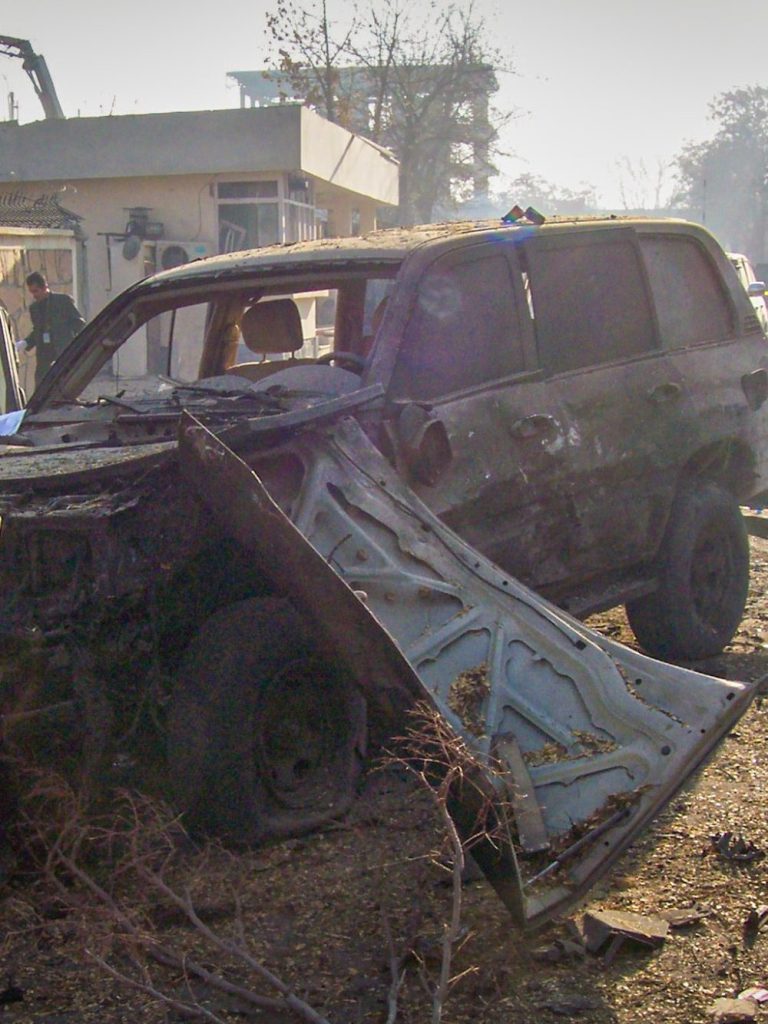
Drones are changing our strategies to manage the collection of data, coordinate our responses to complex situations, and produce high quality analysis and data. In this environment we can provide you with specialist advice to manage strategies, understand regulation and access the future of these emerging technologies to manage risk and meet oncoming challenges.
With over 20 years experience at the forefront of data capture working with government, military & civil partners; conducting time sensitive data acquisition in complex operating environments worldwide; we feel we are well placed to advise you.
From regulation & legislation to advanced air mobility; From scene analysis to complex time sensitive data capture we have you covered.
We need your consent to load the translations
We use a third-party service to translate the website content that may collect data about your activity. Please review the details in the privacy policy and accept the service to view the translations.